With the Vajës, one will establish a love-hate relationship, well, in fact, we can rather direct the hatred towards our own species.
The Kanioni Droja is a beautiful canyon with high walls, with very interesting and beautiful sections of gorges, alternating with more open spaces and a very aquatic atmosphere that caught our attention. But although we were warned by the guide, in 2018 a large episode of rain caused the old Krujë landfill, a huge ditch, a tributary of the Vajës full of plastics, to slide into the canyon, and as a result of those facts, there are many traces of human contamination that we will find from the confluence of both courses.
The truth is that this fact does not compromise the quality of the water, because it is not biological waste, but it will be depressing to have at all times the company of trees garnished with plastics on both sides of the canyon. All that being said, the heights to which the water reached are chilling!

VAJËS CANYON GPS TRACK
VAJËS CANYON’S TOPO
You will find topographies in the book:
Canyonisme en Albanie – Guillaume Coquin
VAJËS CANYON DATA
Activity: Canyoning in Albania
Other toponyms: Kanioni i Droja – Grika e Vajës – Krujë Kanioni
Starting point: Krujë
Nearest town: Krujë
Navette: Possible 3km.
Approach time: 45′ (with only one car)
Descent time: 2h
Return time: 35′
Difficulty: v3a4II
Longest abseil: 15 mts.
Rope: 2×20
Cartography:
Soviet Military ~ 1980 – 1: 50,000 (Via Russian Topomaps APP)
Bibliography:
Canyonisme en Albanie – Guillaume Coquin
Albania Canyoning – Pascal Van Duin
Observations: Provide replacement material to install, just in case.
– Anchors in poor conditions (2021)


ACCESS AND APPROACH TO VAJËS CANYON IN ALBANIA
From the village of Krujë, which we will cross, we will head to Noje, paying attention to the upper part, already at the exit of the village, where after a very sharp curve to the right we will see on the left an embankment and a landfill at the same time, point where the Droja valley opens and where we will also leave the car.
We will follow the road on foot to approach the canyon, always be careful with the coming and going of cars, because the road is narrow and in some curves there is not much visibility.
If we see a van passing by, we can try to make a finger!
Having passed the entire stretch of road that we can see from the car park, the road turns to the right and continues to plan, it will be here that we remain attentive, because after about 500 meters there is a paved track in a descending direction (the first and only that we find).
We will follow this more than obvious track to the river, a bridge over the entrance to the Droja gorge indicates the point of entry, we have looked for a path trail, about ten meters past the bridge, which descends under the bridge, but which has just gone down before to one of the three streams that feed the Vajës.
VAJËS CANYONING DESCENT
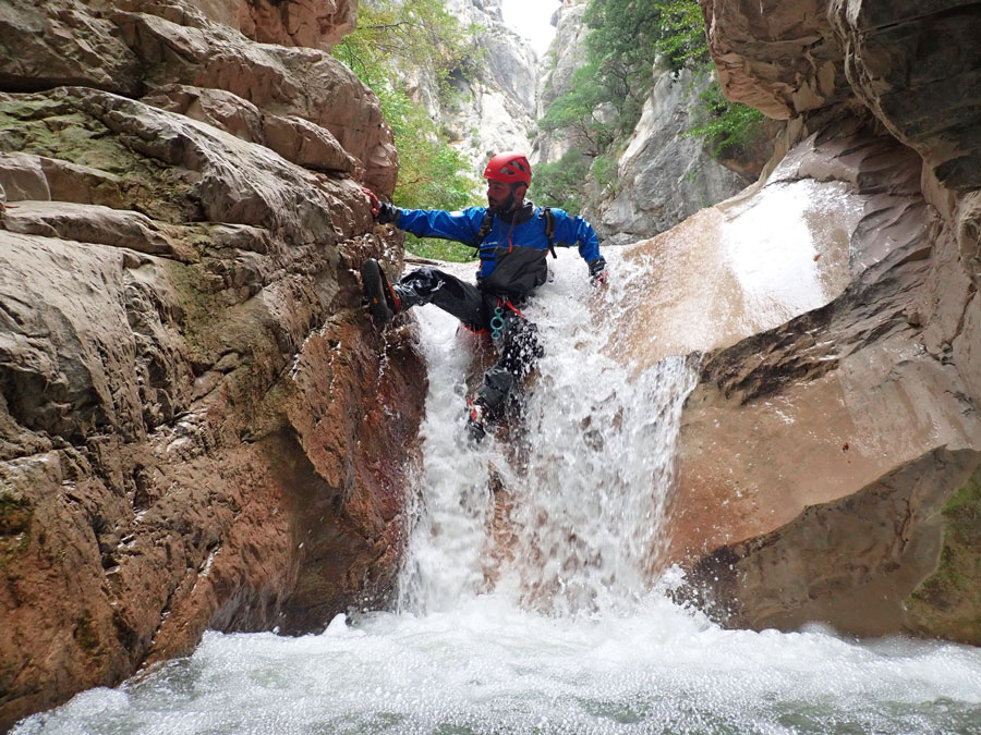
Once equipped, we start the canyon by making a small slide that puts us under the iron and wooden bridge that crowns the entrance to the spectacular gorge at the beginning of the Vajës and that is nothing more than a walk through the water enjoying the forms of this engorged.
We leave the gorge to cross a short chaos of blocks where we find a crashed car and about three ridges separate us from a new bottleneck, the last of which, right at the entrance of the next gorge, forms a slide that is better to climb be careful, because a slab at the reception means that it is not completely clean, also having the possibility of decluttering on the right.
Just after leaving the pool of water at the base of the ridge, we find a rappel on the left, installed in a rusty multimonti, clearly equipment for opening the canyon, but which has still withstood our passage.
The canyon opens up again and we reach the right-hand spring indicated by the topo of the guide, which is not a very generous spring.
We will walk briefly until we find a new ridge, which makes us doubt whether it can be jumped or not, it looks like the C8 indicated on the topo, rappelable from the trees on the left of the stream, accessing it, if, with watch out for slips.
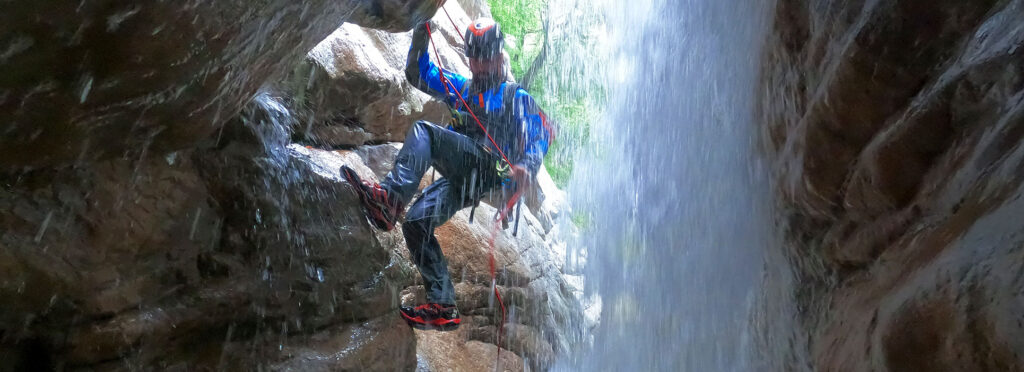
The topo indicates that a new waterfall of 4 meters awaits us, which we doubt is not the one we have just overcome (C8), because after overcoming the abseil from the trees we find a new spring on the right and we make a short walk of a few minutes to reaching a new obstacle, a beautiful rappel of 8 meters, equipped again with opening equipment on the left and which allows us to descend into a beautiful passage of water. At the base of the rappel there is a small cavity that allows us to be behind the waterfall.
We will swim out of this corridor, at the exit of which the Vajës holds a new surprise for us, a spectacular and huge embedded block forms a kind of cavity in the penumbra over a pool of water where the water falls by a waterfall of 12 meters, equipped, again to the left with opening material.
Apparently you can jump, but we haven’t because the drysuits we’re wearing don’t seem friendly to jumping that high. Of the opening installations we have used, this is the one that should be replaced, as the consequences of a rupture of the installation are indeed significant.
Next, a long march awaits us, indicated with 10 minutes on the topo, but which may well have taken us half an hour, we will overcome some bumps, and we will see how very obviously, the dry left tributary has brought all the the rubbish that for years had been dumped at the head from the road (we should have been able to observe it on the approach).
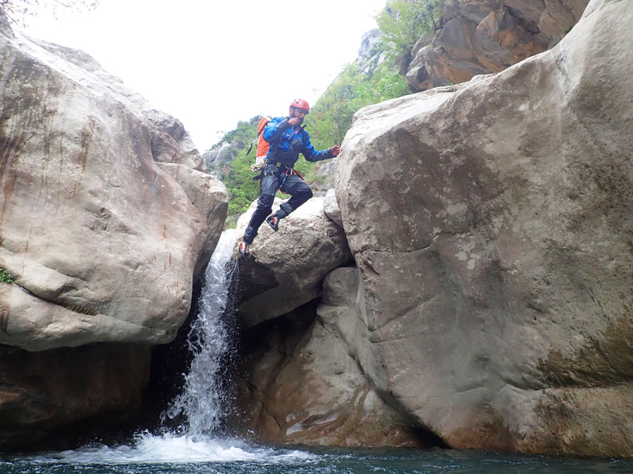
We will find a small artificial dam, with rocks and plastics, after which we will find the 13-meter jump with the obvious rocky point indicated on the topo, we will overcome it on the right, returning to the water with a jump of about 2 or 3 meters at most.
We will see that little by little we are approaching a new gorge and we will pass under a block that siphons with high flow, according to the topo (avoidable on the right).
After the block, we reach an impressive rappel that takes us into a narrow and dark gorge, and it couldn’t be more spectacular! We will find it installed on the right in a bolt, or if the flow does not allow us to go down, we will follow the rock ledge to the left, at the end of which we will find an opening installation with which we can avoid the asset
It’s worth it if we can go down the asset, because the water makes a couple of turns, and enters this beautiful cut in the rock.
We will continue through the gorge, for a not too long section where we will have to combine walking with swimming, always in this pleasant deep gorge environment.
We will get out of the bottleneck, and in what way, the river gains ground in a generous way, expanding its basin tremendously. We will walk for a few minutes along the river, looking to overcome the rocky ridge that descends on the left, and behind which a beautiful cultivation of olive trees is hidden, the first ones we will see on the right, and once we have passed the left ridge, we will sense those on the left.
A banana tree on the riverbed can be used to identify the exit path to the left, which is not very obvious at the river, but which gains importance as we move away from the Vajës.
HOW TO RETURN FROM VAJËS CANYON
The way out leads us to travel erratically, but always in an upward direction through a beautiful plantation of already large olive trees, the paths bifurcate and unify on several occasions due to the cattle that graze there. We will continue climbing the mountainside looking for a kind of track, far up, and which leads to the street which at the same time leads to the road that goes up from Krujë and which, if we turn left, we will immediately recognize as the one we followed with car to get to the parking lot.