The Radeshi canyon is a tributary of the Çorovodes or Kanioni Gradeci, depending on the source you consult, it is one of the secondary canyons in the last guide to canyoning in Albania edited by Pascal Van Duine, and which, like so many secondary ones, can end up in a pleasant surprise as is the case, and the fact is that the Radeshi Canyon begins with little interest, but as we progress in its descent, it gains in formation and interest, ending up becoming a canyon to take into account to complete a day of gullies in the area, if we have good time and want a quick gully.
To be descended, of course, in the spring season, because without water it will lose much of its interest.

RADESHI CANYON GPS TRACK
RADESHI’S CANYON TOPO
There is no topo. You’ll find a description in the Albania Canyoning book.
RADESHI CANYON DATA
Activity: Canyoning in Albania
Other toponyms: Radeshit
Starting point: Rruga Nexhip Xhaja between Pirogosh i Radesh
Nearest town: Çorovodë, for services
Car combination: yes
Approach time: 5′
Descent time: 1h
Return time: 15′ through Gradeci Canyon
Difficulty: v3a3II
Longest abseil: 45 mts. fractionable
Rope: 2×30
Cartography:
Soviet Military ~ 1980 – 1: 50,000 (Via Russian Topomaps APP)
Bibliography:
Albania Canyoning – Pascal Van Duin
Observations: Provide replacement material to install, just in case.


ACCESS AND APPROACH TO RADESHIT CANYON IN ALBANIA
To access the canyon of Radeshi we must head from Corovode or Çorovode in a northerly direction and go up the homonymous river, we will leave the town and pass a characteristic Ottoman bridge that will be on the right, like the river. Just after seeing the bridge we will make a curve to the left where, on the right, we will see an embankment where we will leave the return vehicle.
With the access vehicle to the canyon, we will continue, as the guide says, for two kilometers until we cross the ravine in a sharp curve to the right above it, with a quarry on the other side. At this point we will park where we do not disturb and access the river.
Just before crossing the river, a few meters before the right-hand bend, we will have taken one to the left of which a path leads down to the river without complications.
RADESHI CANYONING DESCENT
The beginning of the canyon is poorly formed and of a very open character with forest on both sides, we will start by descending but immediately we will tend to the right, where we will find a first monopoint, expansive with two chain rings that allow us to do the first rappel that is barely around ten meters.
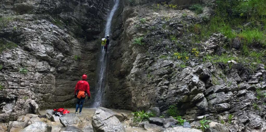
We will continue down the canyon to find a long ramp that ends in a very obvious vertical, we will descend carefully, because we have not been able to see an installation to descend (possibility of natural ones), and we will look, almost at the end of the ramp, for a tree in the ‘hydrographic left from where to start descending the beautiful rappel in front of us and we will divide about fifteen meters further down in another tree on the left, now, in full vertical of the rappel, to descend another twenty meters.
Then it’s time to walk, the vegetation takes center stage and the canyon momentarily becomes quite dressed.
Very soon, we will find a slide that is around four meters and continues the descent through a slightly delicate climb and look for another slide that, with care, will not cause us any problems even if it is not completely clean.
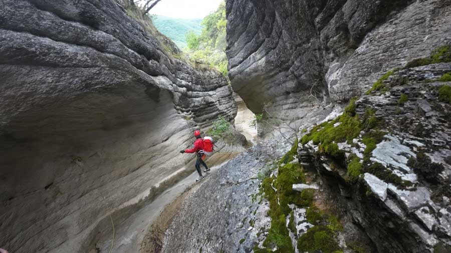
Interest is growing, and the landscape changes the green of the trees for the gray and brown tones of the rock that gradually rises to form a corridor.
With some descents we will reach a new abseil, equipped with a bolt on the left, an abseil that takes us deeper into an aesthetic and unexpected passage through which we will continue to progress making some slides and abseils until we find a characteristic embedded block that practically bars us the pass and above which we will find the next equipped rappel on the left.
We continue with a couple of climbs and arrive at a new and long slide. Arriving at a point where we will see a very obvious ledge of rock on the right, we will look, at the end of it, for the bushes that will allow us to rappel.
We will progress a little more until we come across the final rappel where we have to decide, we will rappel from some bushes to the right and retreat back.
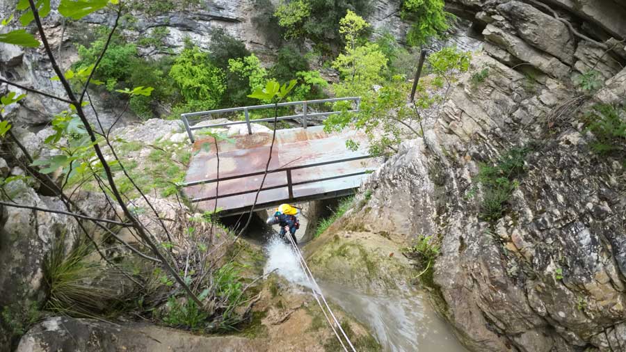
The options, a first abseil of about 14 meters and access the metal walkway to leave the canyon, or abseil about 30 meters to access the Gradeci River / Osoje / Çorovodes Canyon.
HOW TO RETURN FROM RADESHIT CANYON
After finishing the canyon, if we have taken the option of accessing the iron bridge, we will take the track to the right and follow it back to the car without problems.
If, on the other hand, we have decided to do the last abseil as well, we will continue down the Çorovodes or Gradeci river and we will pass the first tributary that enters from the left, we will walk for a few minutes until the canyon opens, it will be here when we keep an eye on the right, so you have to look for a path that returns us to the car just before reaching the Kasabashi Bridge, the Ottoman bridge.