NOTE: Following the proliferation of canyoneering travelers in Albania, there is a conflict with the owner of Albania Rafting Group, who is also the president of the country’s Rafting Federation. With a clear desire to privatize the Osumi Canyon for his business and profit, he calls the police if we park in the vicinity of his establishment, going so far as to deflate the wheels of the vehicle, talking about possible bombs in the river, etc.
It is recommended to look for alternative parking and try to be invisible.

BIGASIT CANYON GPS TRACK
BIGASIT CANYON’S TOPO
You will find topographies in the books described in the canyon data sheet below.
BIGASIT CANYON DATA
Activity: Canyoning in Albania
Other toponyms: Bigas
Starting point: Next to Albania Rafting Group, SH72 road
Nearest town: Çorovodë
Car combination: possible, 2km.
Approach time: 5′
Descent time: 1h
Return time: 30′
Difficulty: v4a3II
Longest abseil: 30 mts.
Rope: 2×30
Cartography:
Soviet Military ~ 1980 – 1: 50,000 (Via Russian Topomaps APP)
Bibliography:
Canyonisme en Albanie – Guillaume Coquin
Albania Canyoning – Pascal Van Duin
Observations: Provide replacement material to install, just in case, anchors can be sabotaged.


ACCESS AND APPROACH TO BIGASIT CANYON IN ALBANIA
From the beautiful city of Berat we will head to Bogovë and then to the village of Çorovode with a Soviet atmosphere. We will follow the SH72 road until, at the bridge that crosses the canyon, just below the company Albania Rafting Group, which causes problems for the canyoneers. Do not park nearby.
BIGASIT CANYONING DESCENT
The canyon begins, very open and with some unremarkable protrusions, the water, as murky as it is, does not allow you to sense the depth of the pools, so we will avoid jumping at all.
We will find the first relevant jump equipped in a natural to the left of the canyon, it is possibly the jump of 6 indicated in the review of the Canyonisme en Albanie guide.
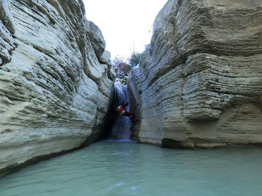
A beautiful corridor of very fractured rock, as if it were Flysch, leads us to a rappel of 10, properly equipped on the right, and with a damaged bolt on the left. Attention with the rope rubs!
We won’t move too far to find a 10-meter slide, which we didn’t think was good to do, and which has a slightly damaged bolt, on the right-hand side, thanks to which we will ensure the descent.
The canyon faces the Osumi River and we begin to sense the vertical, a small rappel equipped on the left and which can also be climbed from the left is chained with what is described in the guide as a 4 meter slide , which we descend on the right, and we reach the beginning of the vertical, equipped on both sides, left for the active, and right for the dry.
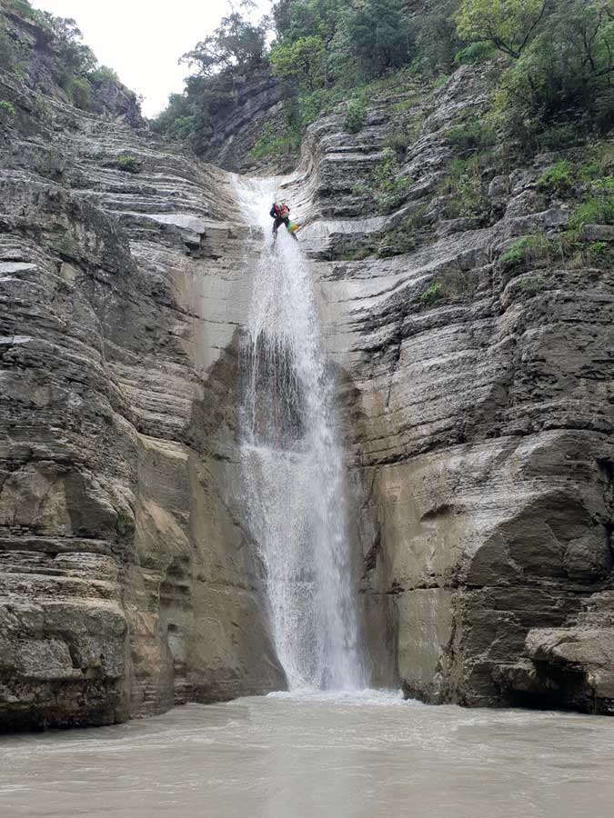
We will look for the access handrail on the left, in a bolt with a ring and which allows us to safely access the first vertical section, a 20 meter ramp*.
*It is worth saying that the vertical is properly divided and equipped again on both sides after the 20-meter ramp, we, however, have done it by linking these two sections in a single 30-meter rappel, recovering ropes without any kind of trouble from the other side of Osumi Canyon.
HOW TO RETURN FROM BIGASIT CANYON
If the flow of the Osumi River allows us to gou up the river*, we will go up the river less than a hundred meters until we find a tributary on the right, and a fairly obvious wooded corridor on the right bank (understand hydrographic right and left, and not upstream!).
- If it is not possible for us to go up the Osumi River, we will go down the river until we pass the famous Waterfall of Love, after about 400 meters after this, on the right, we will find a path that begins not very clearly, but it quickly goes back to the road.
Here begins the game of climbing and looking for the most obvious steps, first through the center of the channel and as we gain height, look for the easiest step along the wall to our right. We will pass a small cavity on the right, and right in front of us we will come across the III degree climbing step, very exposed, and about 2 meters high. On our way we found a fixed ribbon, but tied to a very unstable root. You have to be very mindful of this step, because it is key to being able to get out here.
After passing the climbing step we will find a more obvious path that will lead us back to the open section of the Bigas canyon. It will be more than obvious the stretch we have left to the car, we can also choose to look for the road to our right and finish the return on the asphalt.