Probably the most accessible ravine in all of Kurvelesh, the upper Gura canyon is a natural and scenic wonder.
The most adventurers, and with sufficient logistical capacity will be able to face its large vertical of 230 meters in height, the highest in Albania
GPS TRACK FROM GURA CANYON
UPPER GURA CANYON’S TOPO
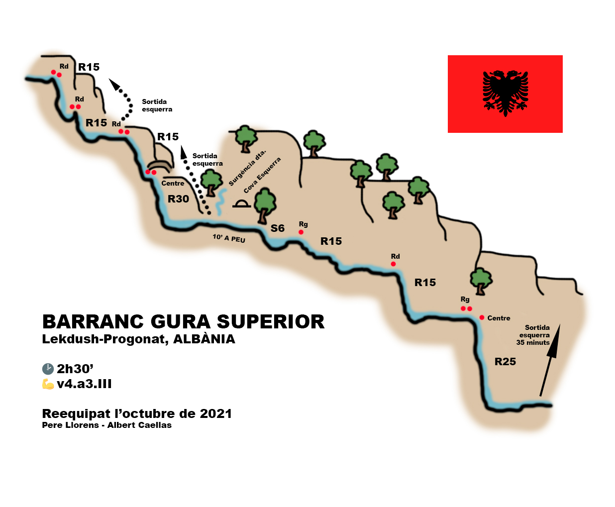
GURA CANYON DATA
Activity: Canyoning in Albania
Other toponyms: Kanionet and Lekdush, Gures
Starting point: Progonat
Nearest town: Progonat and Lekdush (for services or shopping, Tepelenë)
Car combination: Not very useful
Approach time: Immediate
Descent time: 2h30 ‘
Return time: 35 ‘
Difficulty: v4-a3-III
Longest abseil: 35 mts.
Cartography:
Soviet Military ~ 1980 – 1: 50,000
Bibliography:
Canyoning in Albania – Guillaume Coquin
Ropes: 2×40
Observations: Re-installed in October 2021. Very unstable rock, provide replacement material.
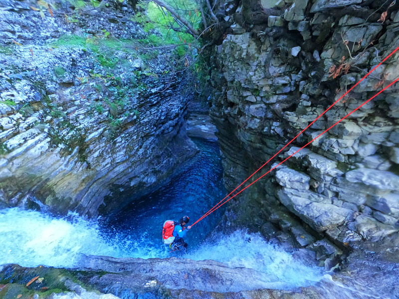
Access and approach to the Gura canyon
From Tepelenë we will head by road to Bençë, a road that is all in passing, in 2021 had been completely renovated to Lekdush.
For our descent we passed the small village of Lekdush and headed to Progonat. We leave the car on the right-hand curve (uphill) that crosses the Gura at the point where the ravine is so full of gravel that almost all of the flow is imperceptible to us.
The approach is almost immediate, we will enter the torrent going down any of its banks. Beware, some large blocks are as unstable as gravel.
GURA CANYON DESCENT
The first section of the ravine runs along the channel full of gravel that will gradually disappear to make way for the water, and after a few minutes of walking we will already intuit the large gorge that is excavated in front of us and the first abseil. which will allow us to access the ravine.
It should also be noted that in this first section there are several paths that allow you to go down to the base of the waterfalls, we will find them all to the left of the ravine.
Arriving at the first abseil, the ravine shows us its character, of decomposed rock, almost Flysh will force us to look for the best blocks to install.
Assessed the flow, we decided to enter, reinforcing as we can the installation on the right, where we also find a natural to more safely access the head.
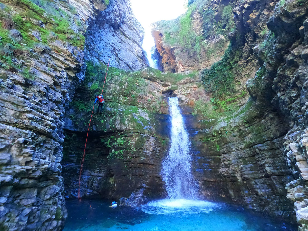
The first abseil, about 15 meters, perhaps more, leaves us inside the pool *, which due to a rock fall, is now drilled and pours its water through the hole and not above the wall as we see drawn on the top of the guide Canyoning in Albania (although the text warns of this change).
- ATTENTION: It is advisable not to finish the abseil in the water, but we will look for the ledge on the right from where we can go up helping each other on the large landing that crosses the ravine from side to side and below which the water drains. Above this, on the wall on the right, we will find the following installation, as well as a single point on the ground, located in the center.
The rappel that allows us to continue down the ravine falls off the asset, and leaves us at the base of this beautiful waterfall known as Ujevara e Peshtures. A path on the left leaves the ravine.
Twenty meters further on it follows the course of the ravine with more verticals, all of them beautiful and equipped on the right.
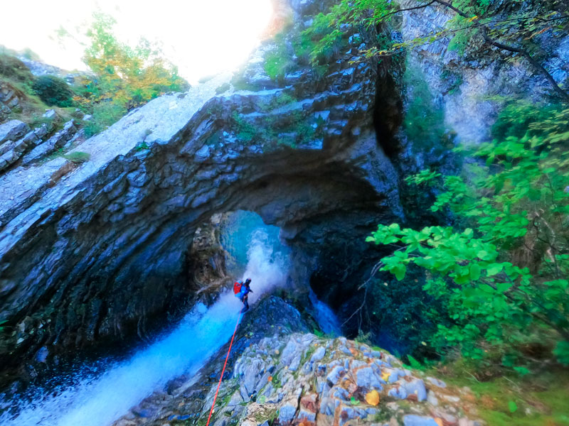
The first of them, the one that takes us to the rock bridge outlined in the guide, we have equipped it on the right, on a comfortable rock balcony, abseiling outside the asset, although you will have to cross the vein of water once passed the abseil of about 15 meters and look for the installation for the next vertical, in a large block that protrudes from the right “foot” of the large rock bridge.
It is impossible not to insist on the great beauty of the place where we are, even more so seeing the great waterfall that we have under our feet.
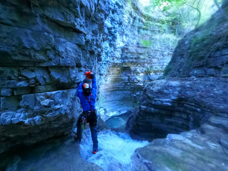
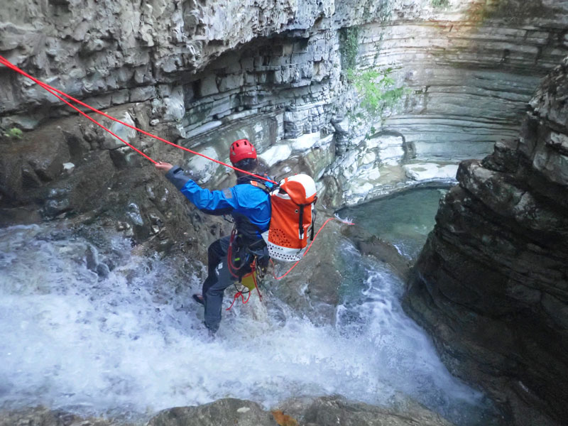
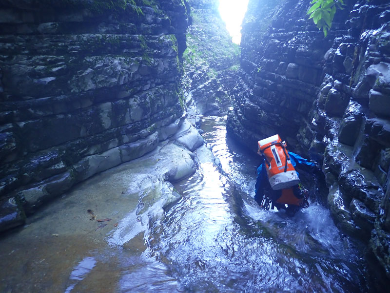
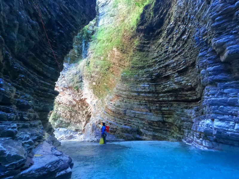
The installation we have placed allows us to descend through this beautiful waterfall of turquoise water that sinks into a very deep gorge, about 30 meters deep, in an environment dominated by a very, very stratified rock. The rappel line avoids much of the asset, although in the event of a large flow we will most likely have a good amount of water falling on us.
It would seem that the original line of this abseil is to be found by passing under the rock bridge, and rappelling outside the asset.
Again, a path on the left allows us to get out of the ravine.
Without loving too much despite the beauty of the ravine, and due to the numerous evidences of stone falls, we continue along the ravine, which now opens momentarily and where the signposted path to the Ujevara e Peshtures that comes from Scheduled.
In this stretch of open ravine, we will walk and see some remains of buildings on the left, a well-dressed spring in the form of a waterfall on the right, and a cave on the left. We will identify the section, if the previous references are not enough, because on the right channel there is a large slab of rock through which we can walk.
We will continue advancing until the Gura gulps again, little by little, first through a corridor with quite low walls and in a curve to the right, under what seemed to us a fig tree, the 6-meter jump indicated in the topography of the Canyoning Guide in Albania.
In our case, as we carry the “drill” we rappelling from the fig tree.
Immediately after a short swim to get out of the water, the Gura ravine turns left, and we find the two protrusions of 5 that are outlined in the guide. The ravine slips a lot, and we see very daring to climb these two protrusions, so taking advantage of the fact that we are ready to install what is needed, we place a bolt with a ring on the left, quite high, in order to secure these two bounces with the rope, so we do the rappel in one go.
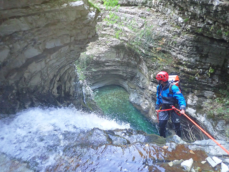

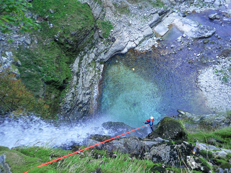
A new bend in the ravine, now to the right, leads us after a small protrusion to a new vertical, about 15 meters and equipped with a single ring on the right, under a rock visor that makes it difficult to find- the. This is the only facility we haven’t replaced, as we decided to save material so we could be in the last vertical.
It is worth noting, however, that it is advisable to do so, and also to install some type of handrail to safely access the head, because the place slips a lot, and a fall can have serious consequences.
The rappel is very beautiful like the whole ravine, and leaves us at the foot of the waterfall, with the water falling on us.
Turning left onto a short, narrow corridor, we reach the last vertical, about 25 meters high.
HOW TO RETURN FROM GURA CANYON
Once we have passed the last vertical and we have become unequipped, we will go down a small ledge and look for a timid ridge on the left that dies in the Gura riverbed. We will find a trail there, and if it holds up, the landmark we have left there. This path gradually goes up the left bank of the Gura to find a construction that looks like a tower, but that apparently would have been related to hydroelectric power, as it seems that some pipes would have led the water.
If we pass to the right of this tower the passage is more comfortable, and past the construction, we will tend to the left, always by the most evident way until finding the main footpath, that takes to the waterfall Ujevara e Peshtures, and that if we take the right will take us to the village of Progonat, where we will find the road and that will allow us to return to the car.
ATTENTION: It is vital to go out in this place, otherwise we will encounter the vertical of 230 meters and the next exit checked is about two hours from the base of the 230 meters of waterfall.